TheJakartaPost
Please Update your browser
Your browser is out of date, and may not be compatible with our website. A list of the most popular web browsers can be found below.
Just click on the icons to get to the download page.

App launched to help predict flooding around Citarum River
Change Size
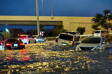
 Mitigating disaster risks: Bandung Institute of Technology's (ITB) meteorology department head Armi Susandi explains to journalists how to read the flood map on the FEWEAS Citarum mobile app at its launch in Bandung, West Java, on Dec.11. (JP/Arya Dipa)
R
esidents living in the Citarum River basin area can make use of the Flood Early Warning and Early Action System (FEWEAS) mobile app.
FEWEAS for Citarum River team leader Armi Susandi said the app could predict extreme weather and flooding that might occur up to the next three days in the river basin area.
“This system uses the most advanced technology, so the information provided is accurate,” said Armi during the launch of FEWEAS in Bandung, West Java, on Monday.
The app can be downloaded for free on Android- and iOS-based phones. The information provided contains data on topographic conditions, weather that is obtained from the United States-owned National Oceanic and Atmospheric Administration (NOAA) satellite, soil types and spatial planning.
“The data is from stakeholders, ministries and institutions that are collected through the National Disaster Mitigation Agency [BNPB]. We process again all data obtained from the NOAA,”said Armi, the Bandung Institute of Technology’s (ITB) meteorology department head.
The app predicts rain, temperature, humidity, wind, flood risks, flooded areas and flooding susceptibility along the Citarum River basin area, which flows 297 kilometers from Situ Cisanti in Bandung regency to Muara Gembong in Bekasi regency.
People can also use the feature to get updates on flood status and to receive early warnings.
“We can predict the location, time, and height of the flood with up to 90 percent accuracy,” Armi said. (nmn/ebf)