TheJakartaPost
Please Update your browser
Your browser is out of date, and may not be compatible with our website. A list of the most popular web browsers can be found below.
Just click on the icons to get to the download page.

Basarnas operates scan sonar to locate sunken Lake Toba ferry
Change Size
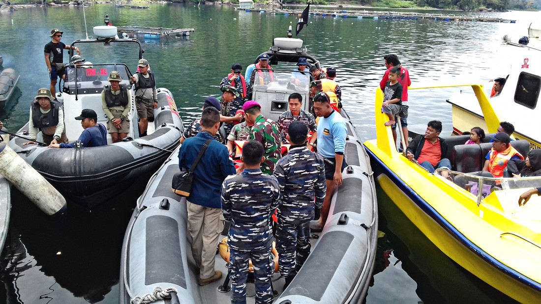 All the tools: Indonesian Navy personnel prepare to depart to the middle of Lake Toba in Simalungun regency, North Sumatra, on Friday, to operate scan sonar and multibeam scan sonar technology to locate KM Sinar Bangun, which capsized on Monday. (JP/Apriadi Gunawan)
T
he National Search and Rescue Agency (Basarnas) began operating the Indonesian Navy's scan sonar and multibeam scan sonar equipment on Friday to detect the exact location of the capsized KM Sinar Bangun on Lake Toba, North Sumatra.
The equipment, which is often used to find underwater objects, such as shipwrecks on the seafloor, was deployed because the ferry's exact location remains unknown five days after it capsized.
Basarnas head Air Marshall M. Syauqui said that, as of Friday, the exact position of the sunken ferry was not yet known; hence, the search and rescue team decided to use scan sonar and multibeam scan sonar equipment owned by the Navy in its search efforts.
Syauqi said the equipment was able to detect objects at depths of 600 meters below the surface. “This equipment is our only hope in detecting the exact position of the sunken ship because it can reach as far as 600 meters deep while Lake Toba is more than 500 meters deep,” he told The Jakarta Post at Tigaras Port in Simalungun regency on Friday.
The search and rescue team's mission coordinator, Budiawan, said the search operation of the Sinar Bangun shipwreck was conducted by a team comprising personnel of the Navy’s Denjaka specialized squad, the Marine Corps, Basarnas and the Navy’s Frogmen Command (Kopaska).
“In total, 150 personnel were dispatched to search for the shipwreck and victims.” (ebf)