TheJakartaPost
Please Update your browser
Your browser is out of date, and may not be compatible with our website. A list of the most popular web browsers can be found below.
Just click on the icons to get to the download page.

Mapping Jakarta public transportation ahead of Asian Games
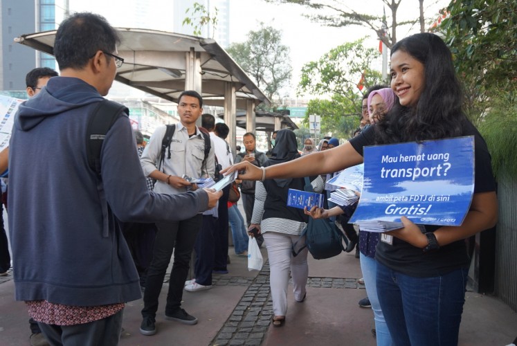
The Greater Jakarta Transportation Discussion Forum (FDTJ) has created an integrated map on the city’s public transportation, called the Public Transportation Map and Guide.
Change Size
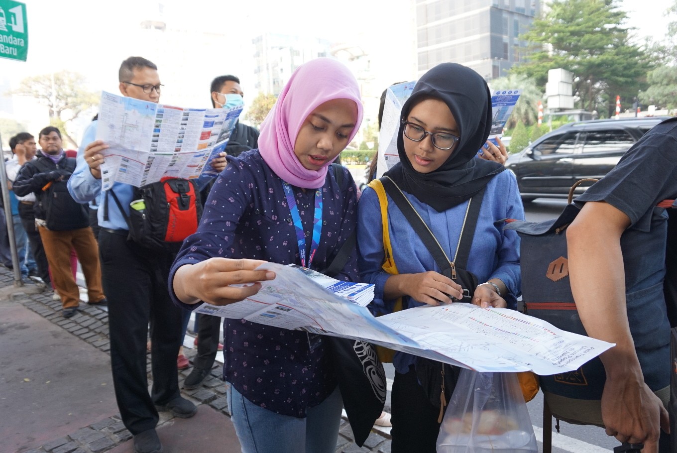 A member of the FDTJ explains about the Jakarta public transportation map to a commuter on Aug. 16, near the Tosari bus stop in Central Jakarta. (JP/Ni Nyoman Wira)
Ever felt confused when using public transportation in Jakarta?
A group called the Greater Jakarta Transportation Discussion Forum (FDTJ) has created an integrated map of the city’s public transportation network. The Public Transportation Map and Guide was distributed free near the Tosari bus stop in Central Jakarta, on Thursday morning.
Presented in Indonesian and English, the map contains information about tickets, fares and routes of Transjakarta buses, urban railways and city buses. In regard to the 2018 Asian Games, there is also information about the venues, access to the venues and tourist destinations. Moreover, it features planned routes for the Jakarta light rail transit (LRT), the MRT, LRT Jabodebek and information on how to travel from Soekarno-Hatta International Airport to BNI City railway station.
However, although the map provides information about state-run bus company Jakarta Passenger Transportation (PPD), there is no information on Metro Mini and Kopaja routes as both bus operators make stops in irregular locations.
The map is adjusted to the city’s current situation as per August this year. Some 20,000 copies have been printed and around 1,200 copies were distributed on Thursday. The rest will be available in Jenius BTPN outlets, public transportation bus stops, PT Railink airport train stations, JakartaGoodGuide travel agents, hotels and the Ke:kini coworking space in Cikini, Central Jakarta.
The community is open to partnerships in terms of map distribution. The map will also be sent to benefactors on kitabisa.com where the community raises its funds.
The map was designed by eight members of the community, based on a previous one they made in 2017 with an update in July.
Read also: Jakarta public transportation map to be distributed during Asian Games
As an independent community, members directly receive information from the source. “We divide tasks into information on new modes of transportation, design and map validation,” said member Adriansyah Yasin. “Usually a problem arises when we find errors in names or a certain public transportation mode doesn’t make a stop in one place anymore.”
Fagra Hanif, another member, said they put disclaimers on the map, as information may vary from day to day. "But we try to make it accurate on the day it’s being printed," Fagra and Adriansyah said.
The FDTJ has made maps for Palembang in South Sumatra, Surabaya in East Java and Semarang in Central Java. They are also in the process of making a map for Bandung, West Java. As their membership has grown to around 7,000 people, many have started to make maps of their own cities.
Founded in 2014, the FDTJ was initially a discussion forum on Facebook about public transportation in Jakarta.
The members come from different backgrounds, ranging from activists to government employees. The forum has also become a channel that can connect public transportation users with stakeholders.
The Public Transportation Map and Guide can be acquired online. (wng)