TheJakartaPost
Please Update your browser
Your browser is out of date, and may not be compatible with our website. A list of the most popular web browsers can be found below.
Just click on the icons to get to the download page.

Popular Reads
Top Results
Can't find what you're looking for?
View all search resultsPopular Reads
Top Results
Can't find what you're looking for?
View all search results-
/
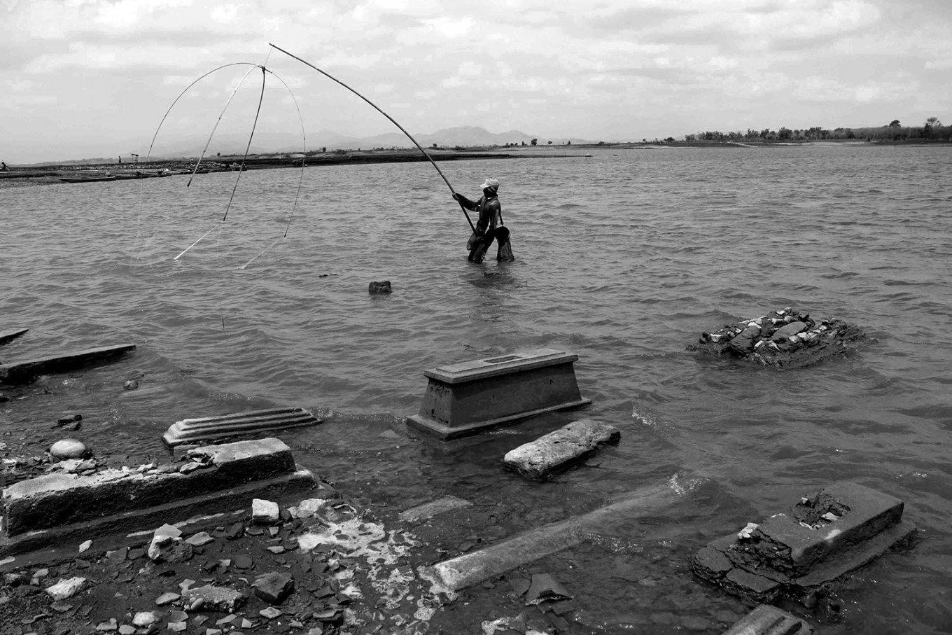
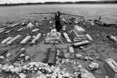
A villager carries his fishing rod, passing graves at the former area of Kenteng village in the Gajah Mungkur dam area. JP/Maksum Nur Fauzan
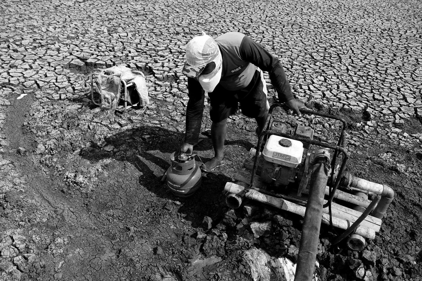
/Pedes, a 47-year-old villager, carries a gas canister to help start a pump engine to irrigate the paddy field due to the start of the dry season. JP/Maksum Nur Fauzan
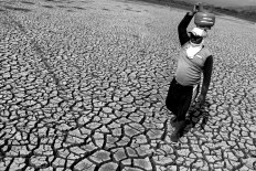
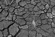
/A fish lays dead on the broken soil of the Gajah Mungkur dam. JP/Maksum Nur Fauzan
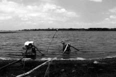
/A villager fishes in the dam. JP/Maksum Nur Fauzan
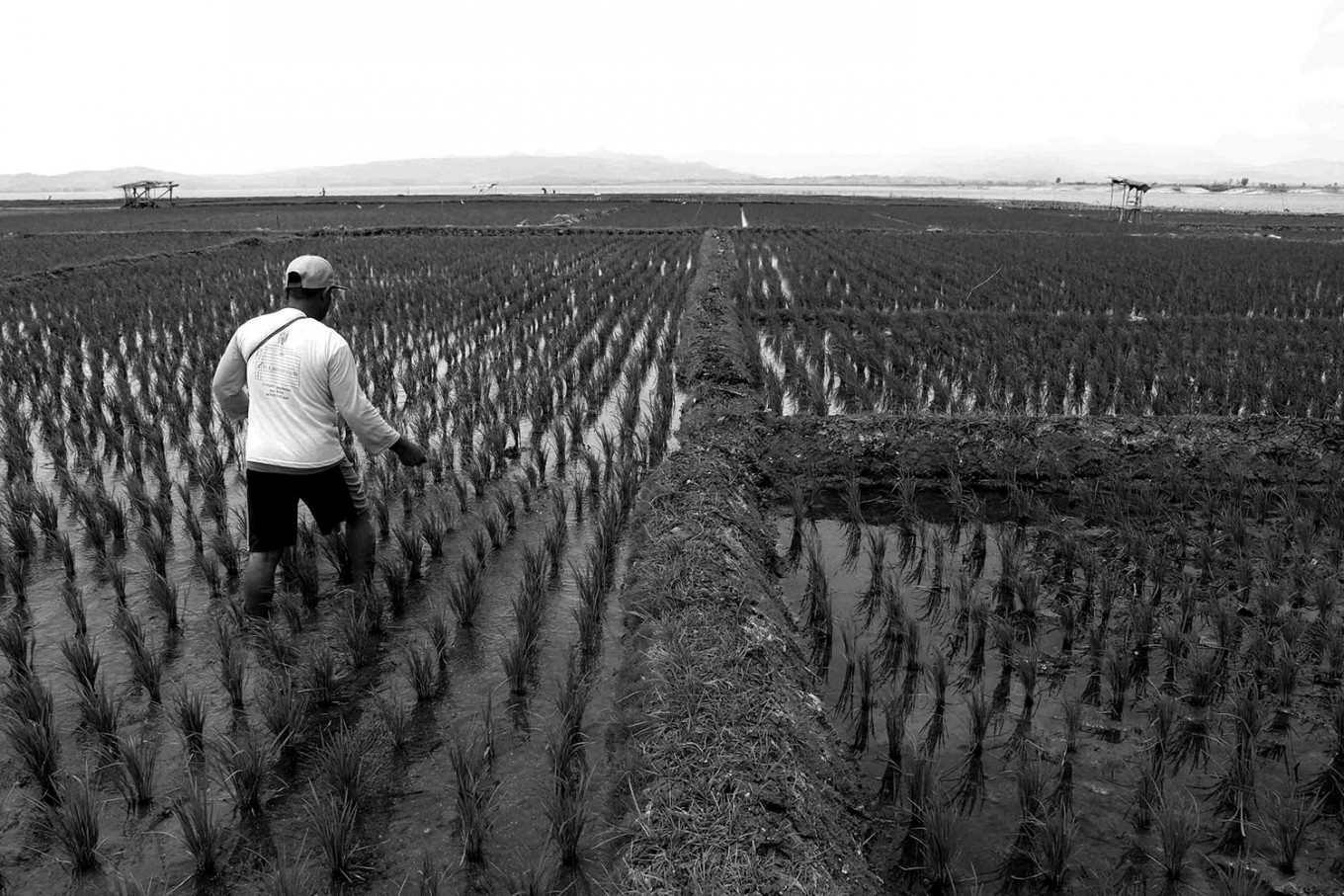
/A farmer fertilizes his paddy fields. JP/Maksum Nur Fauzan
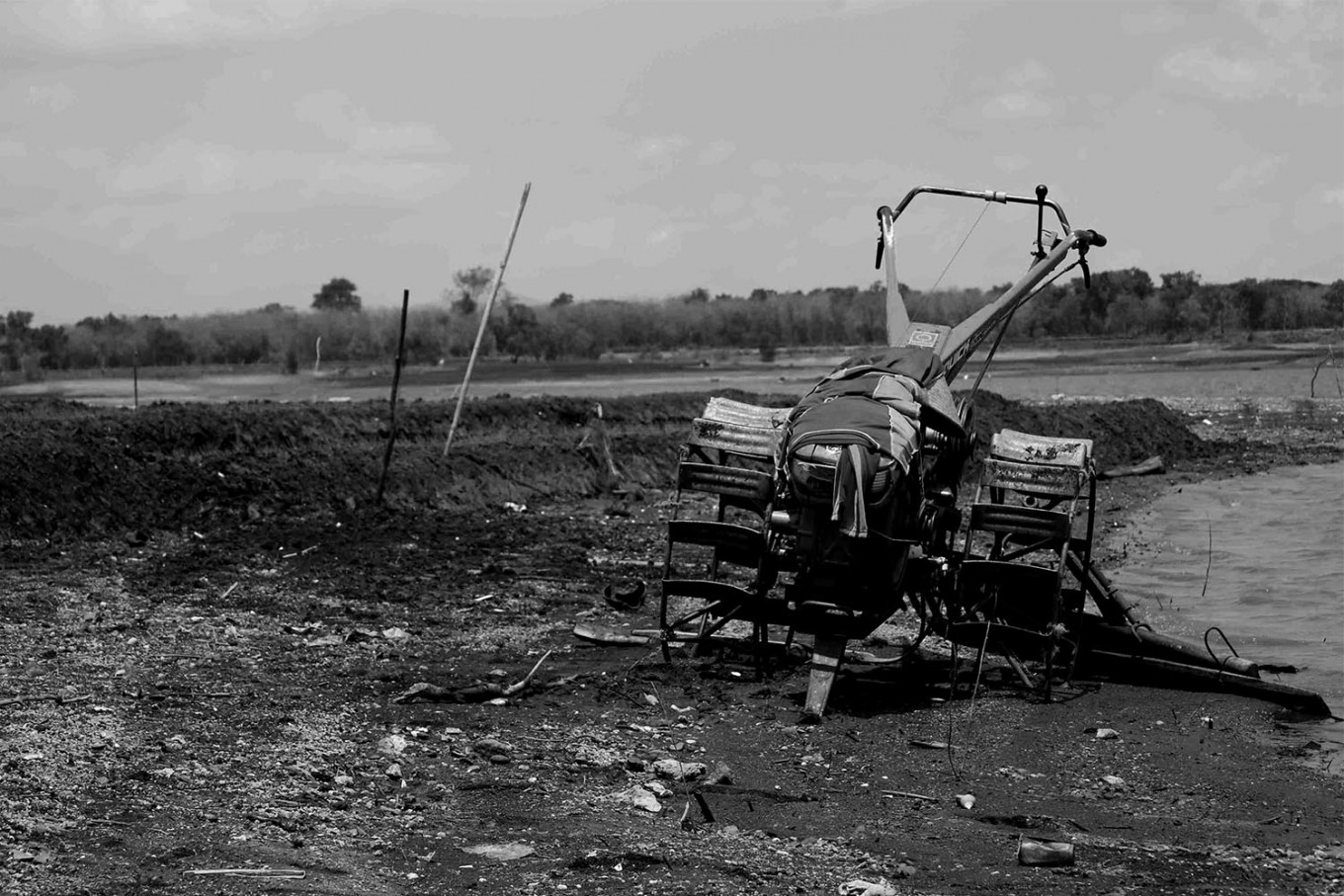
/A tractor is used to plow the land. JP/Maksum Nur Fauzan
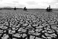
/Motorists can ride their motorbikes through the broken land in the Gajah Mungkur dam. JP/Maksum Nur Fauzan
/A farmer starts a water pump. JP/Maksum Nur Fauzan
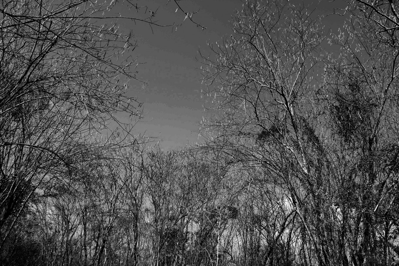
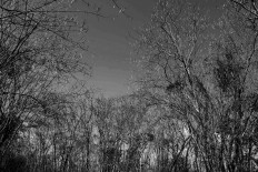
/The leaves fall during the dry season. JP/Maksum Nur Fauzan
/A farmer uses his water pump to pump out water from the dam to his temporary rice field. JP/Maksum Nur Fauzan
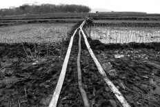
/Water is channeled through the pipes to the paddy field. JP/Maksum Nur Fauzan
Maksum Nur Fauzan
The Gajah Mungkur dam is located in Wonogiri regency, Central Java. It was built in 1978 and flooded 51 villages in six districts. The dam area covers around 8,800 hectares in the seven districts of Wonogiri, Ngadirojo, Nguntoronadi, Baturetno, Giriwoyo, Eromoko and Wuryantoro.
The dam was built to control the floods from Bengawan Solo River as well as for irrigation and fisheries.
Gajah Mungkur has become a tourist attraction for locals where they can cruise the dam.
During the dry season, the water level of the dam subsides, making graveyards visible in the former location of Keteng village in Wuryantoro district.
Villagers make use of the dry season by planting corn and paddy in the dried out dam.
This dry season, the water level of Gajah Mungkur is at 129 meters above sea level, which is still at the safe level. The minimum is 127 m above sea level. [yan]
Swipe Left or Right

You might also like


© 2016 - 2026 PT. Bina Media Tenggara
Your Opinion Matters
Share your experiences, suggestions, and any issues you've encountered on The Jakarta Post. We're here to listen.
Thank You
Thank you for sharing your thoughts. We appreciate your feedback.