TheJakartaPost
Please Update your browser
Your browser is out of date, and may not be compatible with our website. A list of the most popular web browsers can be found below.
Just click on the icons to get to the download page.

Island focus: ‘Sister Village’ prepared for Merapi
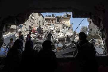
Mother nature: A Citilink aircraft flies past Mount Merapi
Change Size

M
other nature: A Citilink aircraft flies past Mount Merapi. Smoke emanating from the volcano’s crater can be seen from Cangkringan, Sleman, Yogyakarta. (JP/Tarko Sudiarno)
The Boyolali administration has prepared an evacuation model called “Sister Village” in anticipation of possible humanitarian crises if major eruptions, like the ones in 2006 and 2010, occur at Mount Merapi in Magelang, Central Java.
In the Sister Village evacuation model, evacuees will live in residents’ homes in areas that are safe from the hazards of volcanic eruptions. The evacuation locations also must be near village administration offices, community health centers (Puskesmas), police subprecincts and other vital objects.
“Apart from residents’ houses, government offices and temporary tents erected on the fields can also be used as evacuation locations. We hope [there will be] no eruption hazards, but still, preemptive measures must be taken,” the Boyolali Disaster Mitigation Agency’s (BPBD) emergency affairs division head Kurniawan Fajar Prasetyo said on Sunday. He further said the Sister Village model would be implemented in the disaster-prone zone (KRB) II, which comprises areas located in a 5-kilometer radius of Mt. Merapi’s peak. The zone covers dozens of small settlements in seven villages in Selo and Musuk districts.
“Tens of thousands of residents live at KRB II. Under the Sister Village model, residents of Samiran village in Selo district, for instance, will be evacuated to Mudal village in Boyolali city district,” said Kurniawan.