TheJakartaPost
Please Update your browser
Your browser is out of date, and may not be compatible with our website. A list of the most popular web browsers can be found below.
Just click on the icons to get to the download page.

Popular Reads
Top Results
No results found. Please check your search term and try again
Can't find what you're looking for?
View all search resultsPopular Reads
Top Results
No results found. Please check your search term and try again
Can't find what you're looking for?
View all search resultsHow did false data turn the Mekong River into an ‘issue’?
The US blamed China for the droughts and floods in the Mekong Basin, and ignored the negative impacts of climate change, extreme weather, dam construction in other riparian countries and surge in agricultural water use.
Change text size
Gift Premium Articles
to Anyone
Share the best of The Jakarta Post with friends, family, or colleagues. As a subscriber, you can gift 3 to 5 articles each month that anyone can read—no subscription needed!
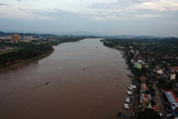
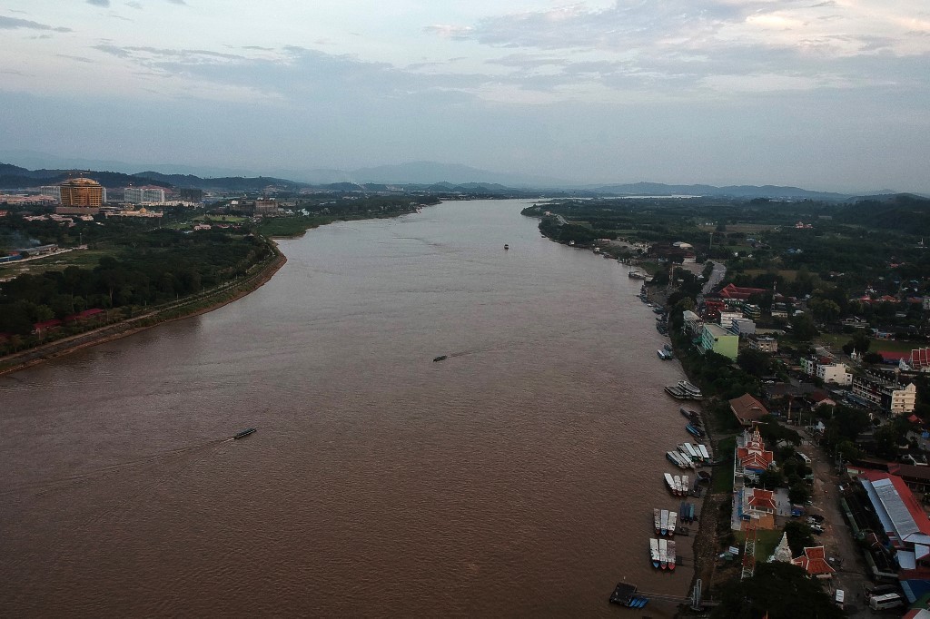 This aerial photo taken on Sept. 19, 2019 shows boats on the Mekong River along the Laos side (L) and Thai side (R) in Chiang Rai province of the Golden Triangle. (AFP/Lillian Suwanrumpha)
T
he Mekong River connects China, Myanmar, Laos, Thailand, Cambodia and Vietnam, and is an important link between the six countries. Over the past two decades, the six riparian countries have continuously strengthened water resources cooperation.
Since the launch of the Lancang-Mekong Cooperation (LMC) in 2016, the water resources cooperation among the six countries has made rapid progress. However, with the intensification of China-United States competition, the US regards the Mekong region as a new geopolitical battleground to compete with China.
In 2020, the US established the Mekong-US Partnership (MUSP) and launched the Mekong Dam Monitor (MDM) project. But recently, the MDM group admitted that it had released wrong hydrological data about China, which caused misunderstanding between China and the Mekong countries.
The MDM is an important project of the MUSP. This project is a collaborative partnership formed by the Stimson Center’s Southeast Asia Program and Eyes on Earth, Inc with funding support from the MUSP, the Chino Cienega Foundation and individual donors. From 2020 to present, MDM monitored the hydrological and climactic information of all China's 11 dams on the Lancang mainstream (Upper Mekong River in China).
According to the “Mekong-US Partnership Plan of Action 2021-2023”, MDM provides objective satellite data on Mekong River water levels behind mainstream river dams, giving Mekong communities information to plan economic activities and climate mitigation strategies.
However, Chinese hydrological research team from Tsinghua University have found the reservoir level readings released by MDM contained serious errors and differed significantly from the actual gauge, which can easily be misused in the hyping of Chinese dams “controlling water” and “hurting downstream countries.” Then, MDM admits that there are some errors in their findings. But their revised data are still incorrect.

The false data released by the MDM had a negative impact on China, but also caused mutual misunderstanding among the six riparian countries in the Mekong basin. For example, the data obtained by MDM’s satellite remote measurements reverse the actual water level rise and fall trends of Xiaowan Reservoir at least in three monitoring periods in 2020, with errors up to 14.84 meters, which is equivalent to some 2.4 billion cubic meters of water.