TheJakartaPost
Please Update your browser
Your browser is out of date, and may not be compatible with our website. A list of the most popular web browsers can be found below.
Just click on the icons to get to the download page.

Popular Reads
Top Results
No results found. Please check your search term and try again
Can't find what you're looking for?
View all search resultsPopular Reads
Top Results
No results found. Please check your search term and try again
Can't find what you're looking for?
View all search resultsAustralia declares La Nina for second straight year
La Nina is typically associated with greater rainfall, more tropical cyclones and cooler-than-average temperatures in the equatorial Pacific Ocean.
Change text size
Gift Premium Articles
to Anyone
Share the best of The Jakarta Post with friends, family, or colleagues. As a subscriber, you can gift 3 to 5 articles each month that anyone can read—no subscription needed!
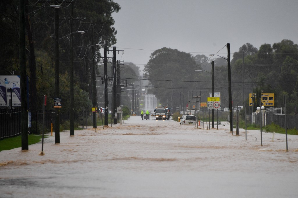 This picture shows a main road of a residential area flooded during heavy rain in western Sydney on March 20, 2021, amid mass evacuations being ordered in low-lying areas along Australia's east coast as torrential rains caused potentially (AFP/Saeed Khan)
A
ustralia's weather bureau said on Tuesday a La Nina weather phenomenon had developed in the Pacific Ocean for the second year in a row that could bring above average rainfall across the country's centre, north and east.
La Nina is typically associated with greater rainfall, more tropical cyclones and cooler-than-average temperatures in the equatorial Pacific Ocean.
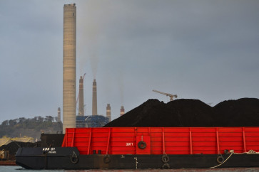
The weather event could boost Australia's wheat yields. In September, the country lifted its wheat forecast for this season by 17 percent to near record levels citing favorable weather.
A wetter than usual end to the year could also result in a less severe bushfire season.
"Back-to-back La Nina events are not unusual, with around half of all past events returning for a second year," Andrew Watkins, the Bureau of Meteorology's Head of Operational Climate Services, said in a statement.
La Nina events normally last about a year but climate models suggest this year's pattern will be short-lived, persisting until the late southern hemisphere summer or early autumn 2022, Watkins said.
"Every La Nina has different impacts, as it is not the only climate driver to affect Australia at any one time," he said.
The United States weather forecaster last month said La Nina conditions had developed and there was an 87% chance of the weather pattern continuing through the December-February period.
In Australia, a low-pressure system early this month dumped 50 to 150 millimetres (2-6 inches) of rain in some parts of the southeast, the highest in years, triggering floods across parts of Queensland and inland New South Wales states.
"A La Nina should translate into a lower risk of bushfires and extreme heatwaves over the eastern states this summer ... however, we can expect an increased likelihood of flooding rains and tropical cyclones," said Matthew England, a professor from the University of New South Wales Climate Change Research Centre.