TheJakartaPost
Please Update your browser
Your browser is out of date, and may not be compatible with our website. A list of the most popular web browsers can be found below.
Just click on the icons to get to the download page.

Popular Reads
Top Results
No results found. Please check your search term and try again
Can't find what you're looking for?
View all search resultsPopular Reads
Top Results
No results found. Please check your search term and try again
Can't find what you're looking for?
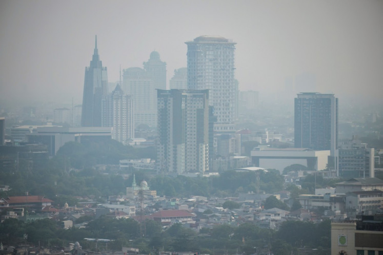
View all search resultsFires in Indonesia burn 1.6m ha of land, mostly former forests: Satellite data
Satellite images show that 76 percent of fires in 2019 burned idle land that was forest several years ago. Cycles of repeated burns have converted the land into unproductive, degraded scrubland.
Change text size
Gift Premium Articles
to Anyone
Share the best of The Jakarta Post with friends, family, or colleagues. As a subscriber, you can gift 3 to 5 articles each month that anyone can read—no subscription needed!
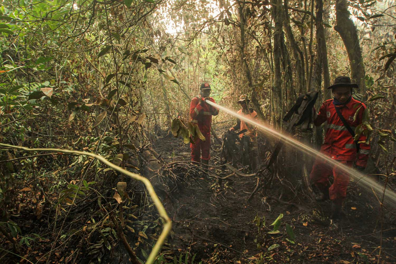 Indonesian firefighters battle a peatland forest fire in Ogan Ilir, South Sumatra, in September. (AFP/Abdul Qodir)
S
atellite data has shown that forest and land fires this year mostly burned idle land, peatlands or former forests, strengthening case for the mass reforestation of degraded peatlands, a research institute said on Monday.
“While there has been much speculation in the news that the heavy fire season has taken a toll on the country’s remaining rainforests, there was no hard evidence to support that notion,” said David Gaveau, a landscape ecologist and research associate at the Center for International Forestry Research (CIFOR) in Bogor, Indonesia.
“We set out to determine how much land had burned and what type of land cover had been burning. This knowledge is crucial to understanding consequences and formulating solutions.”

Scientists at CIFOR analyzed time-series images taken by Sentinel-2 satellites between Jan. 1 and Oct. 31. They performed the analysis on the Google Earth Engine.
The satellite assessment estimated that 1.64 million hectares burned over the period, across seven Indonesian provinces, including 670,000 ha (41 percent of the total burnt area) in peatlands. Fires were recorded in Central Kalimantan, Jambi, West Kalimantan, South Kalimantan, Jambi, South Sumatra and Papua.
CIFOR recorded that in 2015, in one of the worst fires in Indonesia, 2.6 million hectares were burned, emitting 1.2 billion tons of CO2, representing half of the country’s total emissions that year.
The satellite images showed that 76 percent of burnt land in 2019 was lahan terlantar (idle land). The areas were forest several years ago, but cycles of repeated burns have converted them into unproductive, degraded scrublands.
“There has been much speculation in the news that Indonesian fires are ignited by land clearing activities to establish plantations. Clearing land for this purpose only partly describes the situation. Uncontrolled fires easily propagate well beyond the intended area of burning because of large areas of flammable idle and degraded scrubland, the legacy of past deforestation,” CIFOR statement said.