TheJakartaPost
Please Update your browser
Your browser is out of date, and may not be compatible with our website. A list of the most popular web browsers can be found below.
Just click on the icons to get to the download page.

Popular Reads
Top Results
No results found. Please check your search term and try again
Can't find what you're looking for?
View all search resultsPopular Reads
Top Results
No results found. Please check your search term and try again
Can't find what you're looking for?
View all search resultsUI develops online map showing spread of COVID-19 in Indonesia
The map, also available to the public, will show the location of positive COVID-19 patients as well as surrounding areas deemed prone to infections.
Change text size
Gift Premium Articles
to Anyone
Share the best of The Jakarta Post with friends, family, or colleagues. As a subscriber, you can gift 3 to 5 articles each month that anyone can read—no subscription needed!
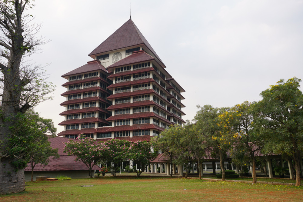 The University of Indonesia's (UI) rectorate building in Depok, West Java. (Shutterstock/Ipang Budiarto )
E
xperts and researchers from the University of Indonesia (UI) have made an online map displaying the spread of COVID-19 in the country to help the government determine areas prone to new infections.
The map, also available to the public, will show the location of positive COVID-19 patients as well as surrounding areas deemed prone to infections. It also shows the location of people put under general monitoring as well as under surveillance.
The map can be accessed at this website.

“COVID-19 has become a global pandemic, therefore, we want to contribute by developing a map that shows the spread of the disease accurately,” UI research and innovation vice rector Abdul Haris said in a statement on Thursday.
Read also: Indonesian Ulema Council urges govt to map COVID-19 prone areas to support fatwa on mass prayers
The online map classifies regions according to their vulnerability to the disease: low, mild and high. Indicators used to determine their status are the number of patients in a certain area, population density and public transport connectivity, which includes train stations and bus stops.
For example, regions are categorized as highly vulnerable — or red zones — if they have a large number of patients, high connectivity of public transportation and a high population density.
Data provided in the map is compiled from various sources, such as the National Disaster Management Agency (BNPB), the Jakarta administration and the West Java administration.
Abdul said the online map was first developed by Ardiansyah, a researcher from the university’s geography department. Other researchers from UI’s medical school, school of public health and school of computer science also contributed to developing the map.
"Telkom Indonesia has expressed an interest in working with us using this spatial analysis technology. We hope that Telkom, as the country’s largest cellular service provider, can use its big data to support this portal,” Abdul said. (aly)