TheJakartaPost
Please Update your browser
Your browser is out of date, and may not be compatible with our website. A list of the most popular web browsers can be found below.
Just click on the icons to get to the download page.

Popular Reads
Top Results
No results found. Please check your search term and try again
Can't find what you're looking for?
View all search resultsPopular Reads
Top Results
No results found. Please check your search term and try again
Can't find what you're looking for?
View all search resultsSumatra hot spots on the increase, warnings of haze
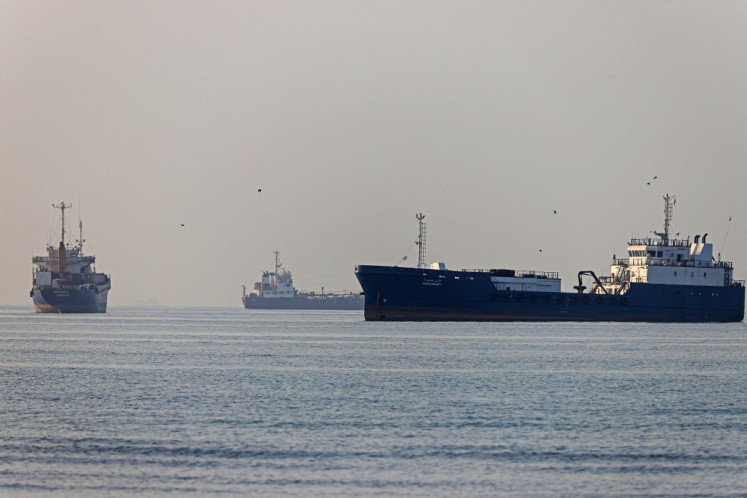
Thelatest satellite observation reveals that the number of hot spots in Sumatrahas risen significantly from the previous 62 to 297 hot spots around theisland, an official says
Change text size
Gift Premium Articles
to Anyone
Share the best of The Jakarta Post with friends, family, or colleagues. As a subscriber, you can gift 3 to 5 articles each month that anyone can read—no subscription needed!

T
helatest satellite observation reveals that the number of hot spots in Sumatrahas risen significantly from the previous 62 to 297 hot spots around theisland, an official says. He added that the largest number was detected inNorth Sumatra province, with 142 spots.
'Our Terra and Aqua satellites have detected 297 hot spots around Sumatra, a significant increase on yesterday's number, which was only 62 spots,' analyst at the Riau office of the Meteorology, Climatology and Geophysics Agency (BMKG), Bibin Sulianto, said on Tuesday as quoted by Antara newswire.
These hot spots usually originate from land-clearing activities done by farmers or plantation companies. The land is cleared by slash-and-burn prior to farming or plantation. Most Sumatra provinces have entered the first phase of the dry season by now, which will last until March.
BMKG also raised concerns about haze. According to BMKG, the visibility at Sultan Syarif Kasim II Airport was only 500 meters on Tuesday morning, described as critical, far below the minimum requirement of at least 1,500 meters.
'The haze combined with fog is the main cause,' Bibin said.
He said the BMKG would join forces with other related institutions like the Health Agency, Environmental Agency, the police and Forestry Agency to minimize the damage.(dic)