TheJakartaPost
Please Update your browser
Your browser is out of date, and may not be compatible with our website. A list of the most popular web browsers can be found below.
Just click on the icons to get to the download page.

Popular Reads
Top Results
No results found. Please check your search term and try again
Can't find what you're looking for?
View all search resultsPopular Reads
Top Results
No results found. Please check your search term and try again
Can't find what you're looking for?
View all search resultsDisaster mitigation plan needed in infrastructure development
At least 16 airports are at risk of tsunami, such as Minangkabau International Airport in Padang, Frans Kaisepo Airport in Biak and Ngurah Rai International Airport in Bali
Change text size
Gift Premium Articles
to Anyone
Share the best of The Jakarta Post with friends, family, or colleagues. As a subscriber, you can gift 3 to 5 articles each month that anyone can read—no subscription needed!
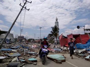
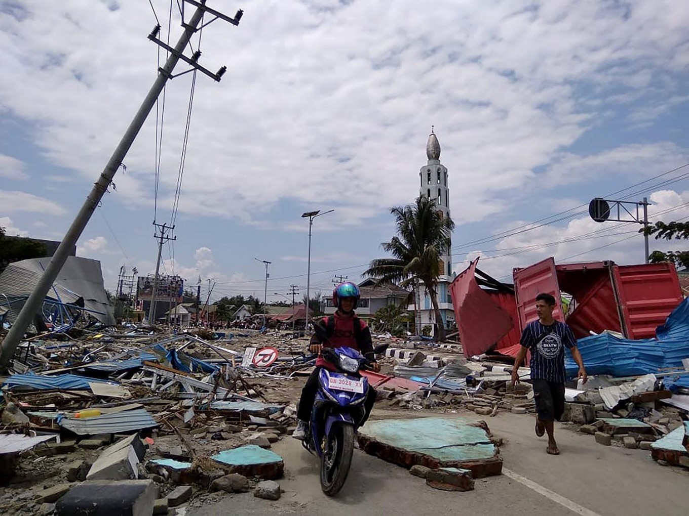 People make their way along a street full of debris after an earthquake and tsunami hit Palu, Sulawesi, on September 29, 2018. (AFP/Muhammad Rifki)
A
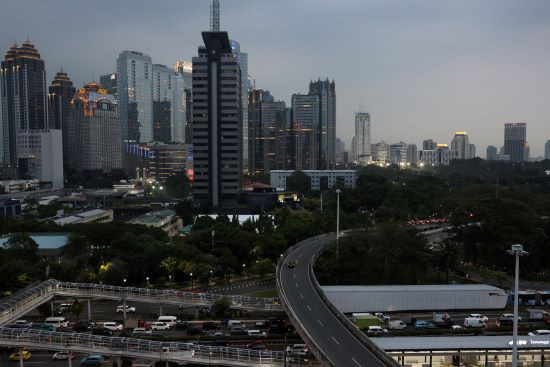
s a tropical country located in the Pacific Ring of Fire, Indonesia is prone to natural disasters, including earthquakes, tsunamis, floods, and landslides.
However, despite the high risk of such disasters, the country’s infrastructure development is not supported by a well-prepared mitigation plan, Khrisna Suryanto Pribadi, a professor at the Bandung Institute of Technology (ITB), said during the 10th National Conference of Road Engineering in Jakarta on Nov. 5.
“We currently focus on post-disaster reconstruction and emergency response after a disaster instead of developing a mitigation plan for infrastructure development,” he said.
Khrisna said it was time for Indonesia to step up its game in disaster mitigation measures in infrastructure as many public facilities such as roads and railway tracks were built in disaster-prone areas.
“If we look deeper, many sections of the national roads and toll roads in Java have been built on faults. There are also airports that are at risk of tsunamis. Moreover, the railway line for the Jakarta-Bandung high-speed train in West Java also passes faults,” he said.
For instance, Khrisna said, at least five sections of national roads are located in disaster-prone areas in West Sumatra, such as the Padang Sawah-Manggopoh, the Manggopoh-Pariaman, and the Lubuk Selasih-Batas Kota Padang road sections. The five road sections were extensively damaged during the 2009 West Sumatra earthquake. Meanwhile, two of the five roads also collapsed in landslides in 2016 and 2018.
At least 16 airports are also at risk of tsunamis as they are located close to the shoreline. Minangkabau International Airport in Padang, for instance, is only 500 meters from the coastline, while Frans Kaisepo Airport in Biak is 100 meters from the shoreline and Ngurah Rai International Airport in Bali is right on the coast.