TheJakartaPost
Please Update your browser
Your browser is out of date, and may not be compatible with our website. A list of the most popular web browsers can be found below.
Just click on the icons to get to the download page.

Popular Reads
Top Results
No results found. Please check your search term and try again
Can't find what you're looking for?
View all search resultsPopular Reads
Top Results
No results found. Please check your search term and try again
Can't find what you're looking for?
View all search resultsMagnitude 5.8 earthquake strikes near Pariaman, West Sumatra: USGS
The quake was at a depth of 11.9 km (7.39 miles), USGS said.
Change text size
Gift Premium Articles
to Anyone
Share the best of The Jakarta Post with friends, family, or colleagues. As a subscriber, you can gift 3 to 5 articles each month that anyone can read—no subscription needed!
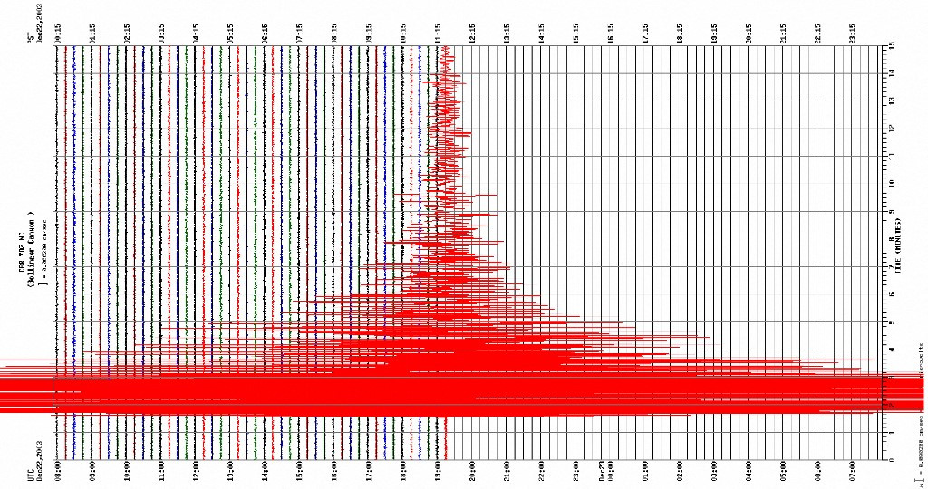 This image from the US Geological Survey (USGS) shows a tremblor gauged on a seismograph 22 December 2003, described as a major earthquake measuring 6.5 on the Richter scale, which shook central and southern California. (AFP/AFP)
An earthquake of magnitude 5.8 struck West Sumatra near Pariaman,on Monday, the United States Geological Survey (USGS) said.
The quake was at a depth of 11.9 km (7.39 miles), USGS said.
Last week, a 6.0-magnitude earthquake hit off the coast of Sumatra, according to the US Geological Survey, sending people fleeing their homes but with no casualties or damage immediately reported.
The shallow quake occurred in the waters off the southwestern coast of Sumatra island, at around 9:30 pm (1430 GMT) -- nearest to Bengkulu, South Sumatra and Lampung provinces.
It sent people in South Sumatra and Bengkulu rushing from their homes, according to local media and witnesses contacted by AFP.
However no casualties or damages were immediately reported by authorities, and USGS estimated that there would be little chance of damage on the ground in Sumatra island. No tsunami threat was issued.

It classified it as a 6.5-magnitude quake, and said its epicentre was in the sea about 64 kilometres from shore.