TheJakartaPost
Please Update your browser
Your browser is out of date, and may not be compatible with our website. A list of the most popular web browsers can be found below.
Just click on the icons to get to the download page.

Popular Reads
Top Results
No results found. Please check your search term and try again
Can't find what you're looking for?
View all search resultsPopular Reads
Top Results
No results found. Please check your search term and try again
Can't find what you're looking for?
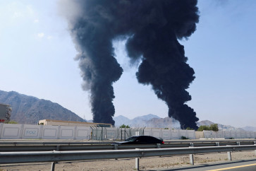
View all search results5.8 magnitude quake hits Maluku islands
The shallow quake hit at 1:43 pm local time (0443 GMT) in the Banda Sea about 70 kilometres (44 miles) southeast of Amahai on the island of Seram.
Change text size
Gift Premium Articles
to Anyone
Share the best of The Jakarta Post with friends, family, or colleagues. As a subscriber, you can gift 3 to 5 articles each month that anyone can read—no subscription needed!
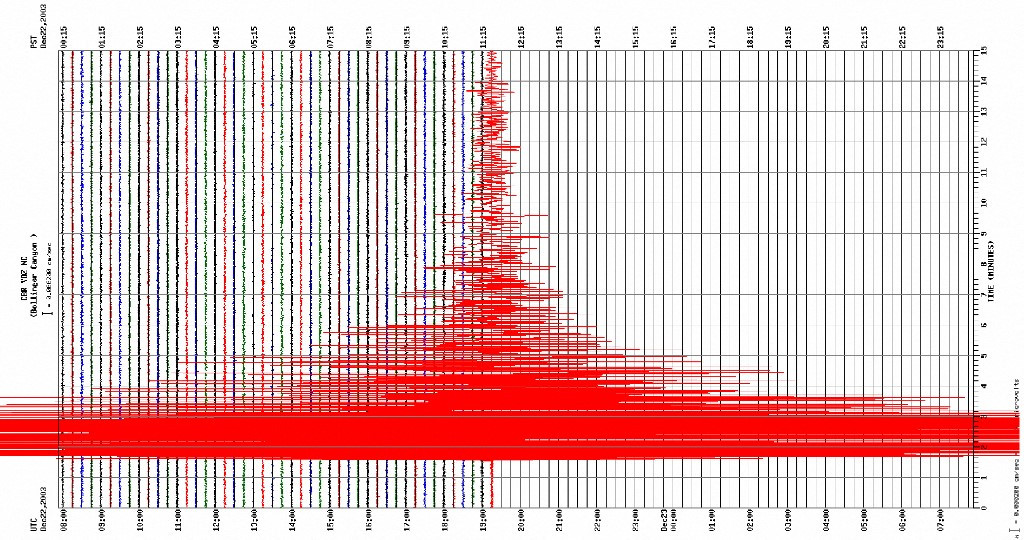 This image from the US Geological Survey (USGS) shows a tremblor gauged on a seismograph 22 December 2003, described as a major earthquake measuring 6.5 on the Richter scale, which shook central and southern California. (AFP/AFP)
A
5.8 magnitude earthquake struck off the coast of Maluku islands on Wednesday, the United States Geological Survey said, but there was no tsunami warning.
The shallow quake hit at 1:43 pm local time (0443 GMT) in the Banda Sea about 70 kilometres (44 miles) southeast of Amahai on the island of Seram.
Shallow quakes tend to do more damage than deep ones, but there were no immediate reports of major damage or casualties.
Indonesia experiences frequent quakes and volcanic eruptions due to its position on the "Ring of Fire", an arc of intense seismic activity where tectonic plates collide that stretches from Japan through Southeast Asia and across the Pacific basin.
In 2004, a devastating 9.1 magnitude quake struck off the coast of Sumatra and triggered a tsunami that killed 220,000 throughout the region, including about 170,000 in Indonesia.
And in 2018, a 7.5-magnitude quake and subsequent tsunami in Palu in Central Sulawesi left more than 4,300 people dead or missing.