TheJakartaPost
Please Update your browser
Your browser is out of date, and may not be compatible with our website. A list of the most popular web browsers can be found below.
Just click on the icons to get to the download page.

Popular Reads
Top Results
No results found. Please check your search term and try again
Can't find what you're looking for?
View all search resultsPopular Reads
Top Results
No results found. Please check your search term and try again
Can't find what you're looking for?
View all search resultsGoogle Maps to alert users about COVID-19-related travel restrictions
Change text size
Gift Premium Articles
to Anyone
Share the best of The Jakarta Post with friends, family, or colleagues. As a subscriber, you can gift 3 to 5 articles each month that anyone can read—no subscription needed!
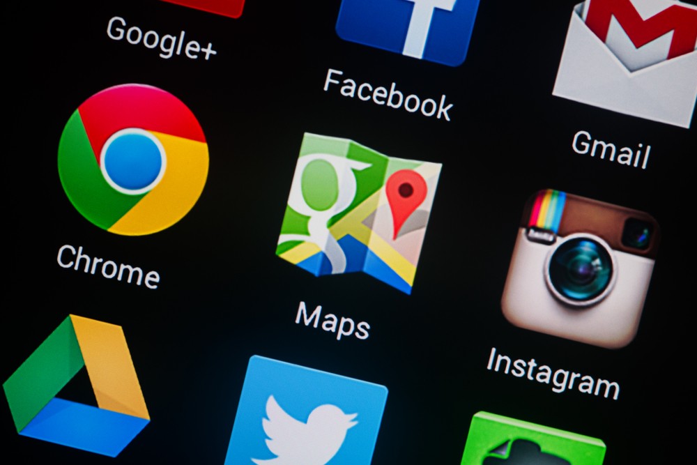 In recent months, the company has analyzed location data from billions of Google users' phones in 131 countries to examine mobility under lockdowns and help health authorities assess if people were abiding with social-distancing and other orders issued to rein in the virus. (Shutterstock/-)
G
oogle is adding features on its Maps service to alert users about COVID-19-related travel restrictions to help them plan their trips better, the Alphabet Inc unit said on Monday.
The update would allow users to check how crowded a train station might be at a particular time, or if buses on a certain route are running on a limited schedule, Google said.
The transit alerts would be rolled out in Argentina, France, India, Netherlands, the United States and United Kingdom among other countries, the company said in a blog post.
Read also: Google Maps now speaks place names so you don't have to
The new features would also include details on COVID-19 checkpoints and restrictions on crossing national borders, starting with Canada, Mexico and the United States.
In recent months, the company has analyzed location data from billions of Google users' phones in 131 countries to examine mobility under lockdowns and help health authorities assess if people were abiding with social-distancing and other orders issued to rein in the virus.
Google has invested billions of dollars from its search ads business to digitally map the world, drawing 1 billion users on average every month to its free navigation app.