TheJakartaPost
Please Update your browser
Your browser is out of date, and may not be compatible with our website. A list of the most popular web browsers can be found below.
Just click on the icons to get to the download page.

Popular Reads
Top Results
No results found. Please check your search term and try again
Can't find what you're looking for?
View all search resultsPopular Reads
Top Results
No results found. Please check your search term and try again
Can't find what you're looking for?
View all search resultsGunungkidul to deactivate three extreme routes from Google Maps
Change text size
Gift Premium Articles
to Anyone
Share the best of The Jakarta Post with friends, family, or colleagues. As a subscriber, you can gift 3 to 5 articles each month that anyone can read—no subscription needed!
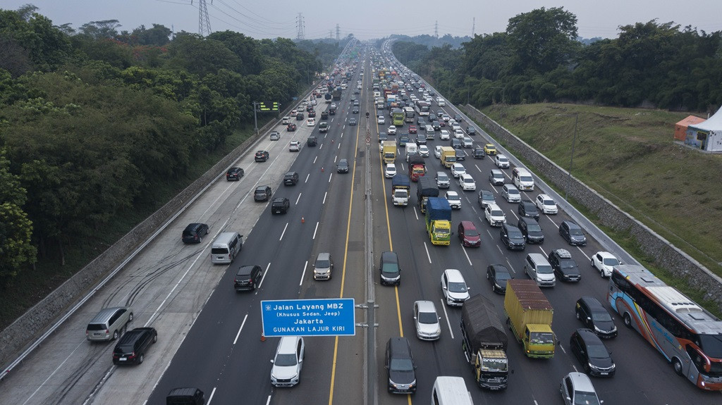 Heavy traffic: A section of Jakarta-Cikampek toll road in Karawang, West Java, sees a high volume of vehicles on Dec. 23, 2023, which authorities estimated to be the peak of the 2023 year-end holiday travel. (Antara/Fakhri Hermansyah)
T
he Gunungkidul Regency administration in Yogyakarta is working to deactivate three extreme routes leading to tourist destinations from Google Maps for the Christmas and New Year holidays to reduce potential accidents.
According to the Gunungkidul Transportation Agency, there are at least three tourist destinations with quite extreme terrain.
"There are three routes that we are trying to deactivate [from the digital maps] so that the public or tourists do not pass through these dangerous routes," said Gunungkidul Transportation Agency head Irawan Jatmiko on Tuesday as reported by Kompas.com.
The routes include the notorious Clogop uphill road in Gedangsari district, the extreme Bundelan hills in Ngawen and another dangerous section of road leading to the popular Obelix tourist destination in Purwosari.
According to Irawan, new signs have already been installed to encourage tourists to avoid these hazardous routes. The routes pose a high risk of accidents for unfamiliar drivers.
"We will send a letter to Google Maps to remove these routes during the year-end holiday," Irawan added.

Previously, the Gunungkidul Transportation Agency predicted that there would be a 15 to 20 percent increase in the volume of vehicles entering the area in this year-end holiday compared to the same period last year.
Apart from Gunungkidul, other local governments in Yogyakarta have frequently proposed other hazardous routes to be removed from Google Maps.