TheJakartaPost
Please Update your browser
Your browser is out of date, and may not be compatible with our website. A list of the most popular web browsers can be found below.
Just click on the icons to get to the download page.

Popular Reads
Top Results
No results found. Please check your search term and try again
Can't find what you're looking for?
View all search resultsPopular Reads
Top Results
No results found. Please check your search term and try again
Can't find what you're looking for?
View all search resultsMapping skills for disabled communities: Paving the road to inclusive disaster management
When a disaster hits, people with disabilities are among those disproportionately affected.
Change text size
Gift Premium Articles
to Anyone
Share the best of The Jakarta Post with friends, family, or colleagues. As a subscriber, you can gift 3 to 5 articles each month that anyone can read—no subscription needed!
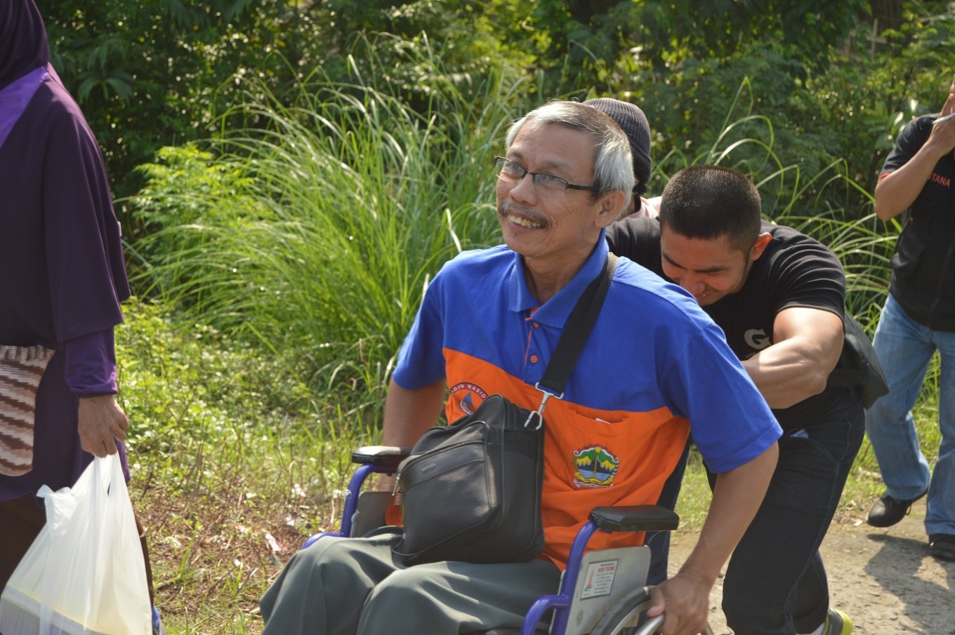 Supriyadi, assisted by a caregiver, climbs an ascending road during a field survey training exercise on disaster contingency planning and data collection using OpenStreetMap. (Humanitarian OpenStreetMap Team /File)
S
upriyadi, 60, lost his ability to walk 11 years ago when a magnitude of 5.9 earthquake shook Yogyakarta, one of Indonesia’s provincial capitals.
It took almost one year for his upper body to physically recover from the incident, but he may never fully recover from the fact the earthquake took his second child, who was among over 5,700 lives lost that day. Supriyadi has had to travel by wheelchair from that moment on.
There are numerous reasons why someone may become a person living with a disability (PWDs). Natural disaster is one of them. In addition, when a disaster hits, PWDs are among those disproportionately affected. PWDs’ physical barriers may prevent them from easily evacuating without assistance.

According to the Living with Disability and Disaster Survey by UNISDR (2014), only 20 percent of 5,717 PWD respondents worldwide said they could evacuate without difficulty in the event of disaster. Despite the greater number of casualties, which affect PWDs, 85 percent of respondents say they have never been involved in disaster preparedness and response activities.
Three in every 20 people in the world suffer from some form of impairment. In Indonesia alone, there are over 37 million people who have disabilities, either by birth or are acquired due to accident and/or disaster. Due to limited opportunities and provisions, about a quarter of persons with disabilities in Indonesia live in extreme poverty.
In recent years, humanitarian organizations have tried improve the livelihoods of PWDs by adopting an inclusive approach at every stage of preparedness and response activities. Improving information infrastructure can enable PWDs to fully participate and contribute, as well as be properly informed and communicate for assistance in the event of disaster.
This is in line with many international frameworks, such as UN CRPD (Convention on the Rights of Persons with Disabilities), Sendai Framework, and the Sustainable Development Goals. The Convention specifically outlines the following, “States Parties shall take, in accordance with their obligations under international law, including international humanitarian law and international human rights law, all necessary measures to ensure the protection and safety of persons with disabilities in situations of risk, including situations of armed conflict, humanitarian emergencies and the occurrence of natural disasters.”
Treating inclusivity in a rights-based approach, instead of mere affirmative action, is also something that needs to be proactively mainstreamed in development programs. The implementation of these frameworks, however, remains a significant challenge.
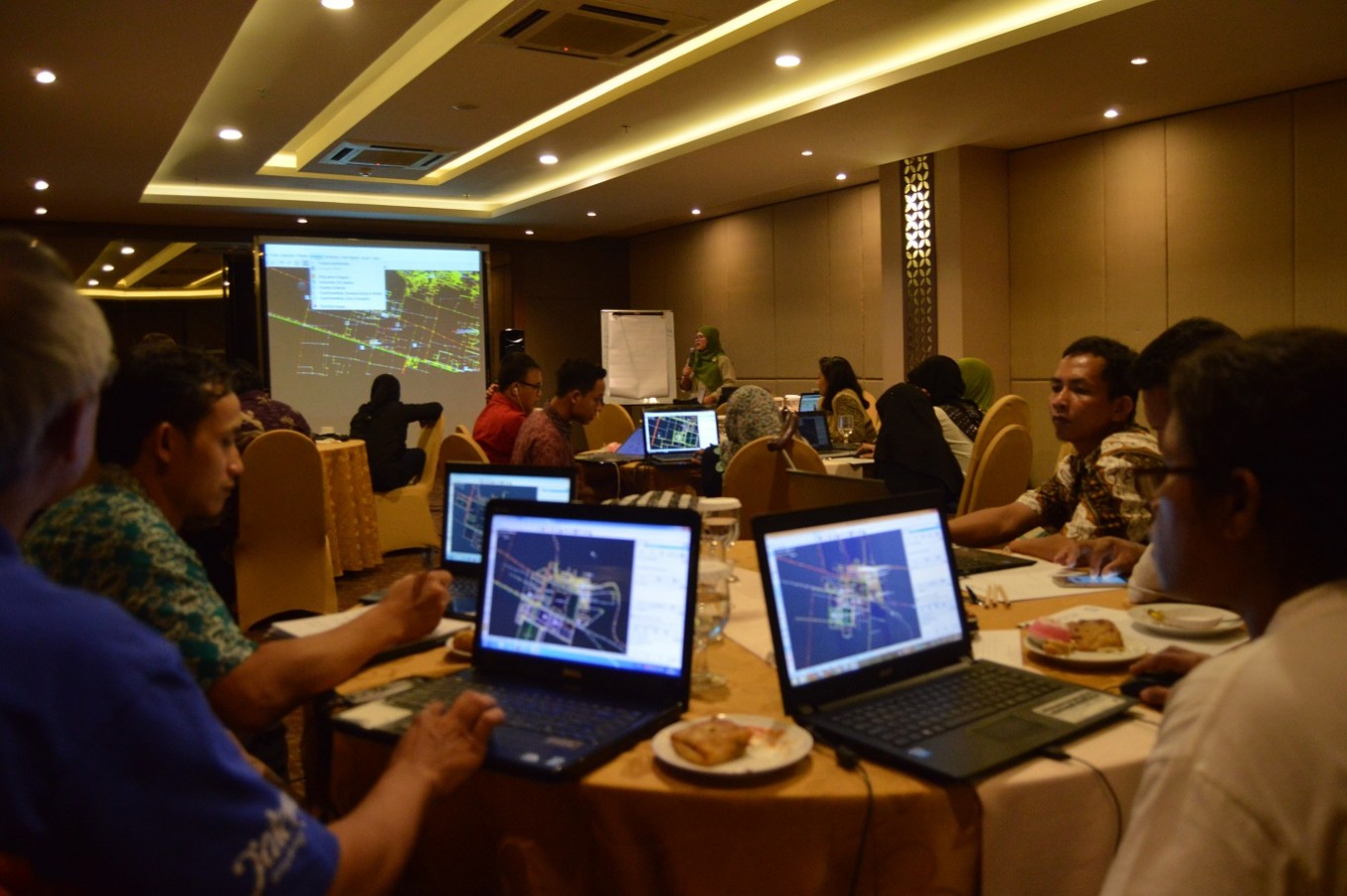
Workshop on open source technology
The Humanitarian OpenStreetMap Team (HOT) and Disaster Management Innovation (DMI) -- with the support from Australian government – has collaborated with Arbeiter-Samariter-Bund (ASB) Indonesia and the Philippines with the support of USAID and National Disaster Mitigation Agency (BNPB) to help improve the livelihoods of the most vulnerable communities through capacity development using open source technology.
HOT delivered technical training over the weekend on how disabled communities can leverage their position by mapping their community’s location and relevant points of interest needed for humanitarian coordination when an emergency situation occurs.
 Supriyadi and fellow members of the PWD community are trained to trace satellite imagery to inform them of the accessibility of their surrounding areas.(Humanitarian OpenStreetMap Team /File)
The training is tailored to specific needs of PWD and teaches them to use innovative, open-source tools, such as WheelMap and OSM Tracker, as well as GPS, JOSM, and InaSAFE that enable them to initiate data collection and perform a GIS analysis of risks in their surrounding neighborhood. Held in Surakarta and the village of Gadingan, participants engaged in both classroom learning and fieldwork surveys.
Wheelmap is a web-based and mobile app that can help identify whether a public facility is fully, partially, or inaccessible for people travelling with wheelchairs. Tagging in wheelmap is very straightforward, allowing people in general, including PWD communities, to easily add information through a simple three-color coding process.
There are still several limitations to the applications, such as wheelmap, and other map related tools. Being a visual tool, designed to inform disaster managers and policy-makers of infrastructure accessibility, PWDs especially those with visual impairments, may not be able to fully utilize the application features. Further enhancing voice assistance on most features would greatly improve its accessibility for the blind. During the training, the role of a caregiver is also indispensable.
HOT has also developed map tagging, such as tactile pedestrian access, in addition to wheelchair access for people like Supriyadi to identify and inform of the distribution of infrastructure accessible for PWDs. Having a tactile map printed out for community members with visual impairments will also help them identify their location and its adjacent facilities, allowing them to be situationally aware of their neighborhood and orientation when an unfortunate event strikes. (kes)
***
Biondi Sima is a co-chair at the Indonesian Youth Diplomacy (IYD). He is a communications specialist at the Humanitarian OpenStreetMap Team (HOTOSM), a non-profit that promotes the use of innovative digital mapping tools for humanitarian response and economic development.
---------------
Interested to write for thejakartapost.com? We are looking for information and opinions from experts in a variety of fields or others with appropriate writing skills. The content must be original on the following topics: lifestyle ( beauty, fashion, food ), entertainment, science & technology, health, parenting, social media, and sports. Send your piece to community@jakpost.com. Click here for more information.