TheJakartaPost
Please Update your browser
Your browser is out of date, and may not be compatible with our website. A list of the most popular web browsers can be found below.
Just click on the icons to get to the download page.

Popular Reads
Top Results
No results found. Please check your search term and try again
Can't find what you're looking for?
View all search resultsPopular Reads
Top Results
No results found. Please check your search term and try again
Can't find what you're looking for?
View all search resultsGoogle Maps develops new feature for travelers to beat transit crowds
Google Maps is evolving into a service that offers more than checking the geographical location of a place – it may help travelers plan the best way to get there, too.
Change text size
Gift Premium Articles
to Anyone
Share the best of The Jakarta Post with friends, family, or colleagues. As a subscriber, you can gift 3 to 5 articles each month that anyone can read—no subscription needed!
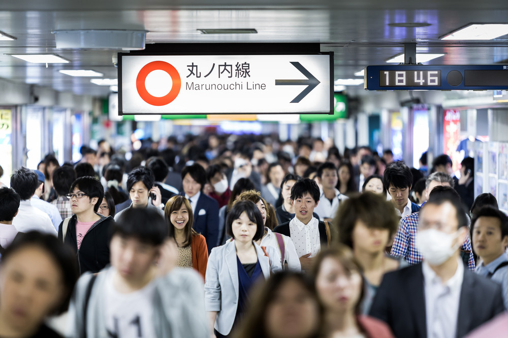 Commuters crowd a concourse at a Tokyo station. Around 7.2 million people use Tokyo's serpentine transit system every day, and several lines are notorious for overcrowding during peak hours. (Shutterstock/Filipe Frazao)
T
he developers of Google Maps are working on a project that may reduce the time and stress involved in catching rail transportation and help people avoid being crushed in crowded areas.
The “transit crowdedness predictions” feature allows users to check transit conditions in about 200 cites around the world, allowing them to choose which transportation mode is the best option for them.
“We analyzed aggregated and anonymized reports of crowdedness from Google Maps users from October 2018 to June 2019 during peak commuting hours -- 6 a.m. to 10 a.m. -- and identified which lines had the highest number of crowdedness reports,” Google said on its blog.

Read also: Atlanta's Hartsfield-Jackson airport was world's busiest airport in 2018
The data has been compiled into a list of the 10 most crowded transit lines from around the world, reports CNN:
- Buenos Aires – Urquiza Line
- São Paulo – Line 11 (Coral)
- Buenos Aires – Line A
- São Paulo – Line 8 (Diamond)
- Paris – Line 13
- Buenos Aires – Line C
- Tokyo – Chuo Line
- São Paulo – Line 9 (Emerald)
- Tokyo – Nippori-Toneri Liner
- New York – L Train
Google Maps also introduced recent updates to its system for calculating bus delays based on real-time traffic conditions, which “improves the accuracy of transit timing for over 60 million people”, it said on its blog.
Launched in India, the system is said to be "driven by a machine learning model that combines real-time car traffic forecasts with data on bus routes and [bus] stops to better predict how long a bus trip will take". (vit/kes)