TheJakartaPost
Please Update your browser
Your browser is out of date, and may not be compatible with our website. A list of the most popular web browsers can be found below.
Just click on the icons to get to the download page.

Popular Reads
Top Results
No results found. Please check your search term and try again
Can't find what you're looking for?
View all search resultsPopular Reads
Top Results
No results found. Please check your search term and try again
Can't find what you're looking for?
View all search resultsBMKG warns of high waves around Lombok
Change text size
Gift Premium Articles
to Anyone
Share the best of The Jakarta Post with friends, family, or colleagues. As a subscriber, you can gift 3 to 5 articles each month that anyone can read—no subscription needed!
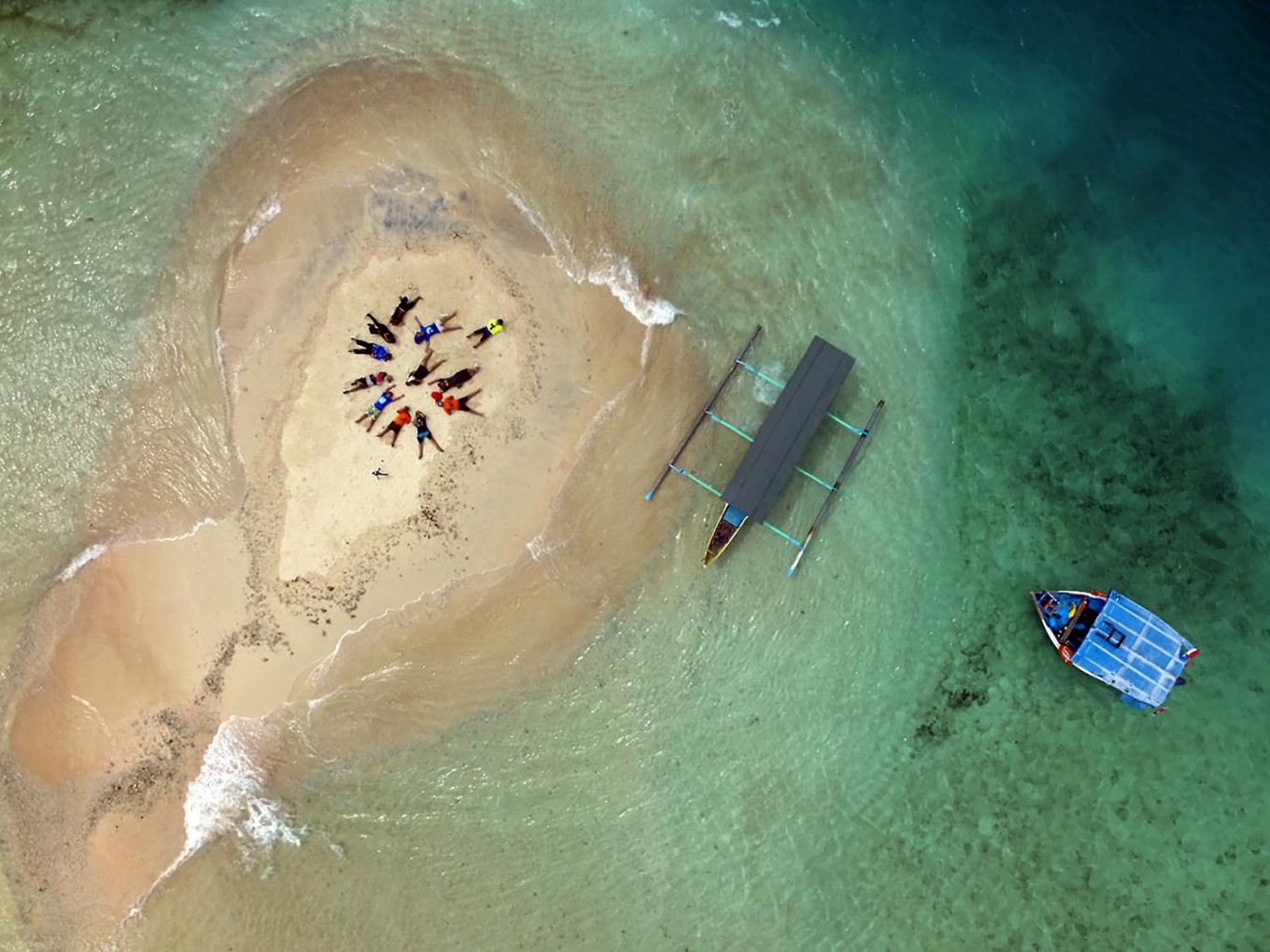 Underwater: Gili Kapal, a small islet near Gili Trawangan, is partially submerged during high tide. JP/ Tarko Sudiarno (JP/Tarko Sudiarno)
T
he Meteorology, Climatology and Geophysics Agency (BMKG) issued an early warning on Thursday for sea transportation service providers and fishermen about high waves in the waters off Lombok and Sumbawa islands in West Nusa Tenggara (NTB).
Lombok International Airport Meteorology Station official Agastya Ardha Chandra Dewi said the high waves formed as a result of the formation of two tropical storms in the South China Sea, namely Son-tinh south of Hong Kong and Ampil in the east of the Philippines.
Low atmospheric pressure in the Arafura Sea and the waters off western Australia also contributed to the formation of the high waves.
“Average wind velocity can reach 35 kilometers per hour. It caused the waves in waters around NTB to be included in the dangerous category as they can reach up to 5 meters high in some areas, such as in the southern part of Lombok Strait,” Agastya said.
Waves 1.25 m and higher are considered dangerous for small fishing boats and tongkang boats, while waves more than 4 meters high can also pose risks to ferries.
The BMKG forecast the high waves will continue until Saturday.
The weather conditions have disrupted fast boat services from Bali to the three Gili islands in Lombok, namely Trawangan, Air and Meno, since Tuesday, prompting authorities to temporarily stop the service.
“Many tourists use the ferry crossing from Lembar port [in West Lombok],” said Any Hainury, the manager of Bella Trawangan Villa. (swd)