TheJakartaPost
Please Update your browser
Your browser is out of date, and may not be compatible with our website. A list of the most popular web browsers can be found below.
Just click on the icons to get to the download page.

Popular Reads
Top Results
No results found. Please check your search term and try again
Can't find what you're looking for?
View all search resultsPopular Reads
Top Results
No results found. Please check your search term and try again
Can't find what you're looking for?
View all search resultsConflicts in South Sumatra triggered by overlapping land
Conflicts emerge when involved parties do not use the same spatial reference.
Change text size
Gift Premium Articles
to Anyone
Share the best of The Jakarta Post with friends, family, or colleagues. As a subscriber, you can gift 3 to 5 articles each month that anyone can read—no subscription needed!
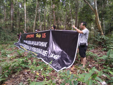
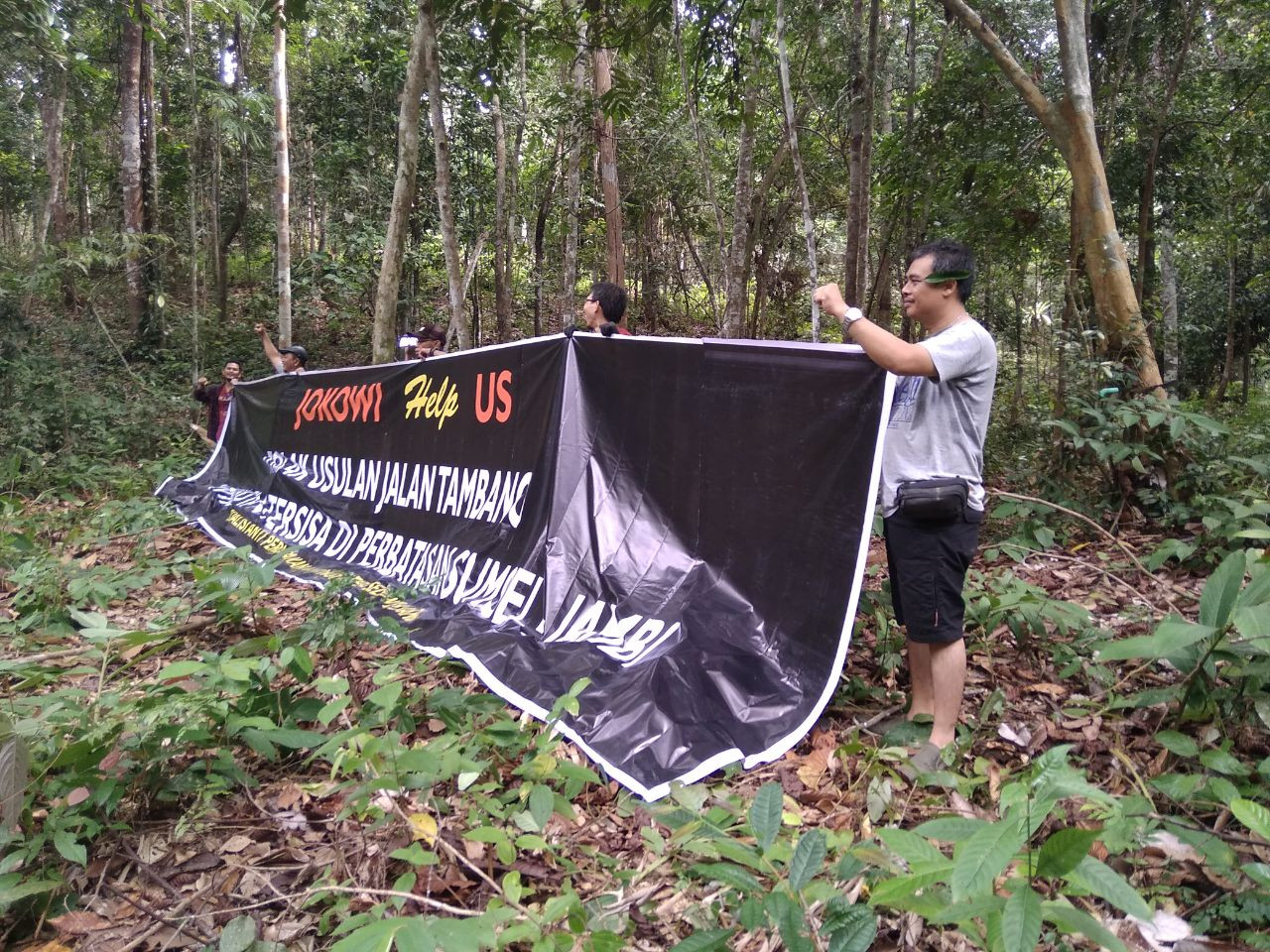 One of the banners used during a protest reads: “Jokowi, help us. Reject the proposal of a mining road going through the remaining forest areas on the South Sumatra-Jambi borders”. (The Jakarta Post/Jon Afrizal)
S
outh Sumatra is seen as the most vulnerable province to land conflicts on the island of Sumatra as 20 percent of its territory has overlapping functions, according to the One Map Policy Acceleration (KSP) team, which has been tasked with compiling and integrating 85 thematic maps of the archipelago.
The head of the Geospatial Information Agency’s (BIG) Center of Thematic Integration and Mapping, Lien Rosalina, said the integrated map was not yet complete, but it had indicated that the 20 percent overlap was the biggest in Sumatra.
Overlapping land claims, Lien explained, often led to land conflicts, such as when industrial areas take up fields allotted for other purposes or when farmers’ land cultivation rights (HGU) for a certain area are not in line with the region’s spatial planning.
These incidents emerge when involved institutions and parties do not use the same spatial reference, Lien said, adding that 17,656 plots of land in South Sumatra overlap, most of which are concession areas.
The integration of maps based on agreed standards — such as a single map reference — would help prevent land conflicts, she suggested. The integration should be followed up at the ministry level with a recommendation for land overlapping settlements, she added.
With regard to the KSP team, Lien said that so far, it had produced 85 thematic maps for 19 ministries in 34 provinces.
“The maps are issued by related ministries. As an example, the map on peatland is to be issued by the Agriculture Ministry.”