TheJakartaPost
Please Update your browser
Your browser is out of date, and may not be compatible with our website. A list of the most popular web browsers can be found below.
Just click on the icons to get to the download page.

Popular Reads
Top Results
No results found. Please check your search term and try again
Can't find what you're looking for?
View all search resultsPopular Reads
Top Results
No results found. Please check your search term and try again
Can't find what you're looking for?
View all search resultsFencing Indonesian waters: 50 years and counting
Change text size
Gift Premium Articles
to Anyone
Share the best of The Jakarta Post with friends, family, or colleagues. As a subscriber, you can gift 3 to 5 articles each month that anyone can read—no subscription needed!
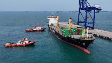
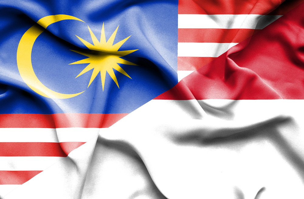 Waving flag of Malaysia and Indonesia - Illustration. (Shutterstock/File)
I
n 1969, Indonesia and Malaysia signed a historic deal to establish their maritime boundaries. It was in fact the first agreement on maritime boundaries Indonesia had ever signed. The agreement makes clear which seabed belongs to which country in the Strait of Malacca and the South China Sea.
Now, 50 years later, Indonesia has managed to file 18 agreements with eight neighbors. However, Indonesia has yet to fully complete its maritime boundaries with all 10 neighbors: India, Thailand, Malaysia, Singapore, Vietnam, the Philippines, Palau, Papua New Guinea, Australia and Timor Leste. There are even no maritime boundaries yet with Palau and Timor Leste.
Settling maritime boundaries can take decades. With Malaysia, for example, no agreement has been reached since the first one in 1969. The latest agreement was struck in September 2014 for maritime boundaries between Indonesia and Singapore. Four months before that was with the Philippines. The two followed the previous one settled in June 2003 with Vietnam.
Maritime boundary delimitation, as technical and legal people would call it, is governed by the United Nations Convention on the Law of the Sea (UNCLOS), which more than 165 countries in the world have ratified.
Indonesia was an early party to the agreement and contributed significantly to its negotiation. The current face of the international law of the sea was, to an extent, also crafted by Indonesian intellectuals — something that the young generation should know and be proud of.
Establishing maritime boundaries requires a multidisciplinary approach. Legal expertise is fundamental since it is governed by codified international legal instruments. Those legal provisions need to be translated into technical practices requiring technical people. Expertise in survey and mapping or geodesy, for example, is essential in translating legal provisions into practical implementation in the field. These two should collaborate to form a political solution. Indeed maritime boundary delimitation is a political process.
Now after half a century of struggle and effort to fence our waters, how do we finalize it? First, the government needs to declare maritime boundary delimitation a top priority. Limits and boundaries are fundamental for ocean management. As Indonesia is aspiring to become a “global maritime fulcrum” this requires clarity of territory and jurisdiction of ocean space. How can we manage our waters and resources therein if we have not even settled its fence/borders with our neighbors? Political will is thus imperative.
Second, we should consider assigning special envoys or institutions dealing specifically with maritime boundary delimitation. The persons or institutions need to have a solid authority beyond technical and legal matters. Many governments have assigned special envoys to negotiate maritime boundary delimitation with neighboring countries.
Indonesia once named a special envoy for maritime boundary delimitation with Malaysia. However, because the special envoy is a political appointee, any change in politics can easily alter its existence.
Third, we need to have more people well-trained in this particular field. We are a proud country to have a senior expert and guru, such as Hasjim Djalal, a professor with first-hand experience in the making of UNCLOS. Some are following his steps but most learned ocean affairs and the law of the sea as a result of their official position or professional roles, not necessarily because of their genuine interest.
For lawyers, studying the international law of the sea is apparently less attractive financially than studying other fields. The field of surveys and mapping or geodesy also faces similar challenges. Not many surveyors would be genuinely interested in being an expert in the geospatial aspects of the law of the sea. More promising opportunities lie in other fields such as surveys for land administration, mapping for the mining industry, geographic information systems, unmanned aerial vehicle mapping for industrial plantations, and application of global navigation satellite system.
Thus, positive intervention from the government through education sector has never been more urgent.
Lastly, ocean affairs and the law of the sea issue must enter the popular sphere. Introducing this issue as early as possible to the young generation is always better to build and strengthen maritime culture.
When children no longer draw two mountains with a sun shining in between, followed by an empty road and rice field, but instead unconsciously draw coast and ocean, we can be convinced that Indonesia’s future generation is starting to embrace maritime culture.
With one step at a time, we will make progress. We will fence our waters for a better relationship with our neighbors; as American poet Robert Frost once said “good fences make good neighbors”.
***
The writer is a lecturer and researcher at the Department of Geodetic Engineering, Gadjah Mada University (UGM), Yogyakarta, and the author of the book Batas Maritim Antarnegara (International Maritime Boundaries).