TheJakartaPost
Please Update your browser
Your browser is out of date, and may not be compatible with our website. A list of the most popular web browsers can be found below.
Just click on the icons to get to the download page.

Popular Reads
Top Results
No results found. Please check your search term and try again
Can't find what you're looking for?
View all search resultsPopular Reads
Top Results
No results found. Please check your search term and try again
Can't find what you're looking for?
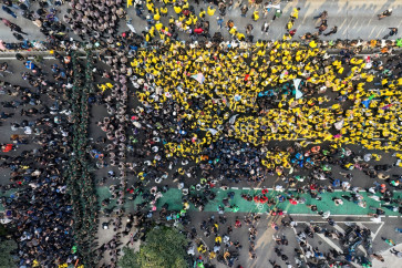
View all search resultsGoogle Maps shows COVID-19 hot spots
Google is updating its free mapping service this week with color-coding that maps out areas infected with COVID-19 cases.
Change text size
Gift Premium Articles
to Anyone
Share the best of The Jakarta Post with friends, family, or colleagues. As a subscriber, you can gift 3 to 5 articles each month that anyone can read—no subscription needed!
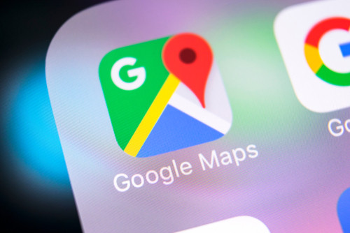 Google Maps. (Shutterstock/BigTunaOnline)
G
oogle is updating its free mapping service this week with color-coding that maps out areas infected with COVID-19 cases, the search giant said in a blog post Thursday.
Tapping the new "COVID-19" option in a layers feature in a top corner of a screen will enhance maps using the latest 7-day average of cases per 100,000 people in areas being viewed, it said.
A label will also let users know whether the number of COVID-19 cases in a particular spot is trending up or down, according to Maps product manager Sujoy Banerjee.

The tool is meant to provide "critical information about COVID-19 cases in an area so you can make more informed decisions about where to go and what to do," Banerjee said.
Read also: Google Maps to alert users about COVID-19-related travel restrictions
Data used in the COVID layer comes from sources including Baltimore-based Johns Hopkins hospital, the New York Times, and Wikipedia, which get information from public health organizations such as the World Health Organization and government health ministries, according to Banerjee.
The COVID layer is rolling out this week worldwide in versions of the map app tailored for mobile devices powered by Apple or Google-backed Android software, the California based company said.
Google Maps already featured pandemic-related tools such as letting users know when public transit was likely to be crowded.
"While getting around is more complicated these days, our hope is that these Google Maps features will help you get where you need to be as safely and efficiently as possible," Banerjee said.