The Jakarta Post
Please Update your browser
Your browser is out of date, and may not be compatible with our website. A list of the most popular web browsers can be found below.
Just click on the icons to get to the download page.


Popular Reads
Top Results
No results found. Please check your search term and try again
Can't find what you're looking for?
View all search results
Popular Reads
Top Results
No results found. Please check your search term and try again
Can't find what you're looking for?
View all search resultsWhy Indonesia keeps repeating its forest fire crisis
We have accumulated experience, yet too often respond as though we are encountering fires for the first time.
Change text size
Gift Premium Articles
to Anyone
Share the best of The Jakarta Post with friends, family, or colleagues. As a subscriber, you can gift 3 to 5 articles each month that anyone can read—no subscription needed!
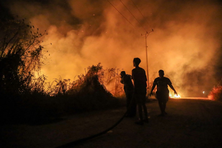
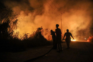
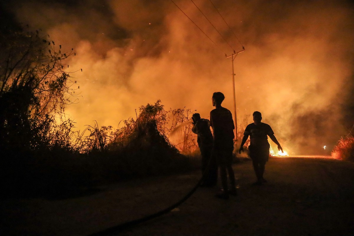 Firefighters work to contain a wildfire on Oct. 13 in Banjarbaru, South Kalimantan. (AFP/Muda Sagala)
A
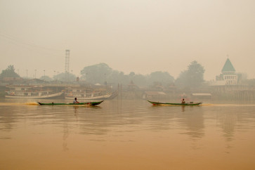
s thick haze blanketed parts of Indonesia once again this year, I found myself reliving a familiar frustration. In 2014 and early 2015, as chief operating officer of Indonesia’s Agency for Reduction of Emission from Deforestation and Land Degradation (REDD+), I dealt directly with the country's forest and land fire problem. Working alongside colleagues in the presidential delivery unit, UKP4, we were faced with a question that remains painfully urgent: how can the government prevent fires when its agencies use different maps and responsibility for the same landscapes is divided among competing authorities?
That experience shaped my understanding of the One Map initiative. UKP4 and the REDD+ Agency helped advance a common spatial reference for land governance. Bringing concession boundaries, peatlands, forests and community claims into a single framework could help reveal overlapping permits, clarify responsibilities and make enforcement possible.
In January 2015, then-president Joko “Jokowi” Widodo dissolved the REDD+ Agency and absorbed its functions into the Environment and Forestry Ministry. Later that year, El Niño intensified a devastating fire season, costing an estimated US$16.1 billion in damage and economic losses. An agency can be dissolved by decree, but its accumulated knowledge, networks and unfinished work must be deliberately carried forward.
Watching Indonesia confront severe fires again in 2026, I am struck by how familiar these governance problems remain. We have accumulated experience, yet too often respond as though we were encountering them for the first time.
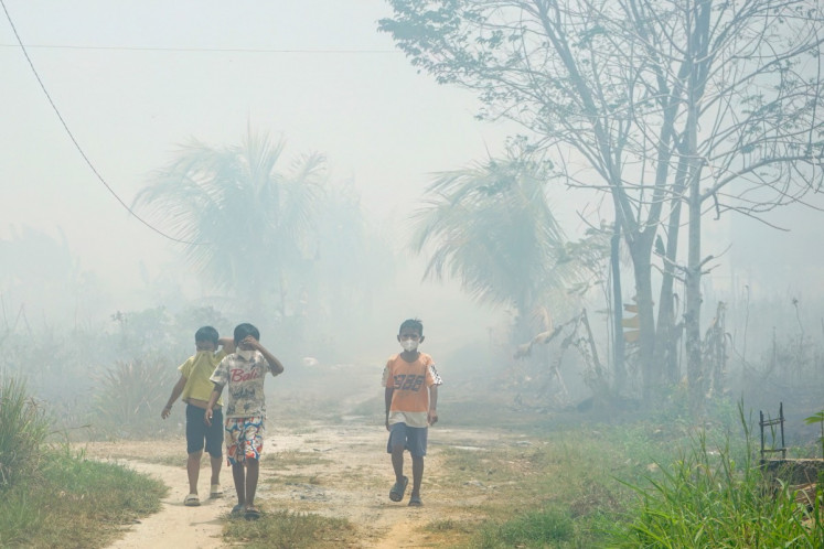
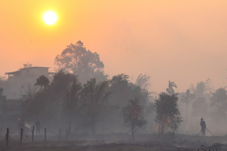
Nusantara Atlas estimates that almost 896,000 hectares burned between January and August, leaving families to breathe hazardous air while ecosystems suffer long-term damage. The burden continues long after the flames disappear, through illness, lost income and slow recovery of ecosystems.
El Niño explains how fire spreads, but it cannot explain why preventable risks repeatedly become national emergencies. Drained peat, contested land, weak enforcement and cheap land-clearing incentives turn dry weather into disaster. These are problems of governance that we have recognized for years.

Indonesia has made progress in mapping, peatland restoration and fire monitoring, but these advances have not produced durable protection. We must connect what we know to decisions, budgets and accountability across successive administrations.