The Jakarta Post
Please Update your browser
Your browser is out of date, and may not be compatible with our website. A list of the most popular web browsers can be found below.
Just click on the icons to get to the download page.


Popular Reads
Top Results
No results found. Please check your search term and try again
Can't find what you're looking for?
View all search results
Popular Reads
Top Results
No results found. Please check your search term and try again
Can't find what you're looking for?
View all search resultsFires at Papua food estate worsen haze pollution
Reports from environmental groups claim there were 807 fire hot spots with high confidence levels in the national strategic project (PSN) area, with blazes allegedly tied to land clearing for road and airport construction.
Change text size
Gift Premium Articles
to Anyone
Share the best of The Jakarta Post with friends, family, or colleagues. As a subscriber, you can gift 3 to 5 articles each month that anyone can read—no subscription needed!
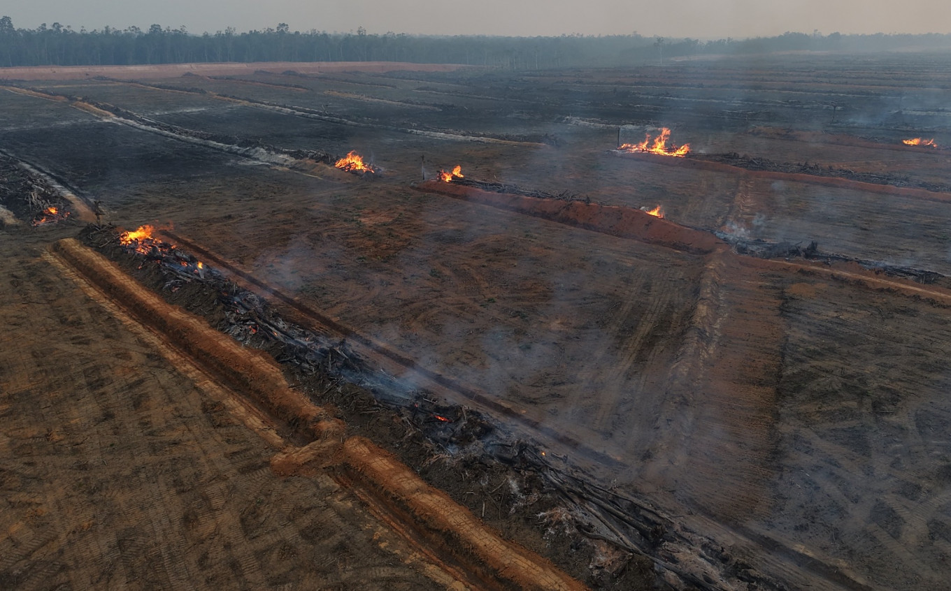 Flames engulf parts of a 58-kilometer stretch of the Merauke food estate corridor on Aug. 12 in Merauke regency, South Papua, extending from near Wanam village in Ilwayab district to Muting district. Despite suffering one of Indonesia’s largest burn scars, Papua remains excluded from areas prioritized for firefighting operations amid the regional haze crisis. (Pusaka Bentala Rakyat/Ambrosius Mulait)
T
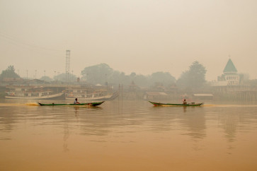
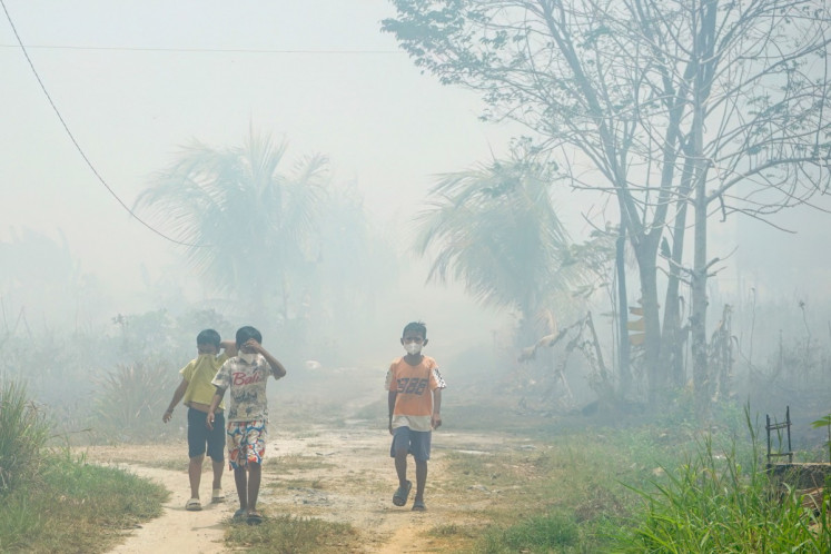
hick haze from forest and land fires has blanketed South Papua and the surrounding region with the pollution allegedly exacerbated by land clearing for food estate projects in the province, as the country’s easternmost island remains excluded from firefighting priorities.
The Merauke estate occupies 2.3 million hectares of land in the province, nearly twice the size of Greater Tokyo. It is a national strategic project (PSN) established for the development of rice, sugarcane and other plantations as well as logistical hubs.
An ongoing observation by Papua-focused watchdog Pusaka Bentala Rakyat found that wildfire smoke had escalated throughout October in Merauke, including in parts of the estate where land clearing fires were reportedly ignited to clear land for rice and sugarcane cultivation.
“The fires have been spiraling out of control, particularly in areas plotted for the PSN,” Pusaka Bentala Rakyat executive director Franky Samperante told The Jakarta Post on Wednesday.
In low-lying Merauke, fires are a common feature, used by indigenous communities for controlled small burns as part of their traditional usage of grassland for agricultural purposes.
But since mid-August, the group has documented multiple large-scale blazes originating from the Merauke estate, including around parts of a 58-kilometer-long food estate corridor that spans from near Wanam village in Ilwayab district to Muting district.

The clearing was allegedly done to pave the way for the construction of a road and an airport.




Your Opinion Matters
Share your experiences, suggestions, and any issues you've encountered on The Jakarta Post. We're here to listen.
Enter at least 30 characters
0
/ 30
Thank you
Thank you for sharing your thoughts. We appreciate your feedback.